LiDAR vs Cameras for Autonomous Vehicles: The Overfitting Question
Deep dive into the autonomous vehicle perception debate: examining the theoretical foundations of computer vision, sensor fusion, and why the overfitting problem might be the real concern.
The Technology Debate That Misses the Point
As someone who studied autonomous vehicles at university and worked on perception systems in Germany, I've spent considerable time thinking about the LiDAR versus cameras debate. But I believe we're asking the wrong question entirely. The real discussion should focus on the fundamental theory behind perception systems and the concept of overfitting in complex sensor arrays.
Understanding Human Vision: The Biological Baseline
Let's start with the theoretical foundation: how does human vision work? Humans have two eyes that perform triangulation through stereoscopic vision, allowing us to perceive depth and navigate three-dimensional space. This binocular vision system uses parallax—the difference in perspective between our two eyes—to calculate distances.
Our visual system processes approximately 10 million bits of information per second, but only about 40 bits per second reach our conscious awareness. The vast majority of visual processing happens subconsciously, filtering noise and identifying relevant patterns for navigation and object recognition.
Our eyes aren't superhuman—they're good, but not perfect. The human eye has a resolution of roughly 576 megapixels, but our central vision (fovea) only covers about 2 degrees of our visual field with high acuity. Yet this imperfect system is sufficient for us to drive cars safely in complex environments.
The Theoretical Foundation of Computer Vision
Computer vision operates on similar principles but with different capabilities and limitations. The fundamental challenge in autonomous driving is the "structure from motion" problem: how do you extract 3D information about the world from 2D image sequences?
Camera-based systems use several approaches:
- Stereo Vision: Like human eyes, using two cameras to calculate depth through triangulation
- Optical Flow: Analyzing how objects move across the image plane to infer depth and motion
- Monocular Depth Estimation: Using machine learning to predict depth from single images based on visual cues
- Structure from Motion (SfM): Building 3D maps from sequences of 2D images taken from different viewpoints
The Camera Argument: Computational Superiority
Now imagine a supercomputer connected to eight high-resolution cameras instead of just two biological eyes. Each camera can capture images at 60fps or higher, with resolution far exceeding human vision. The computational power available for processing this visual information dwarfs the human brain's visual processing capabilities.
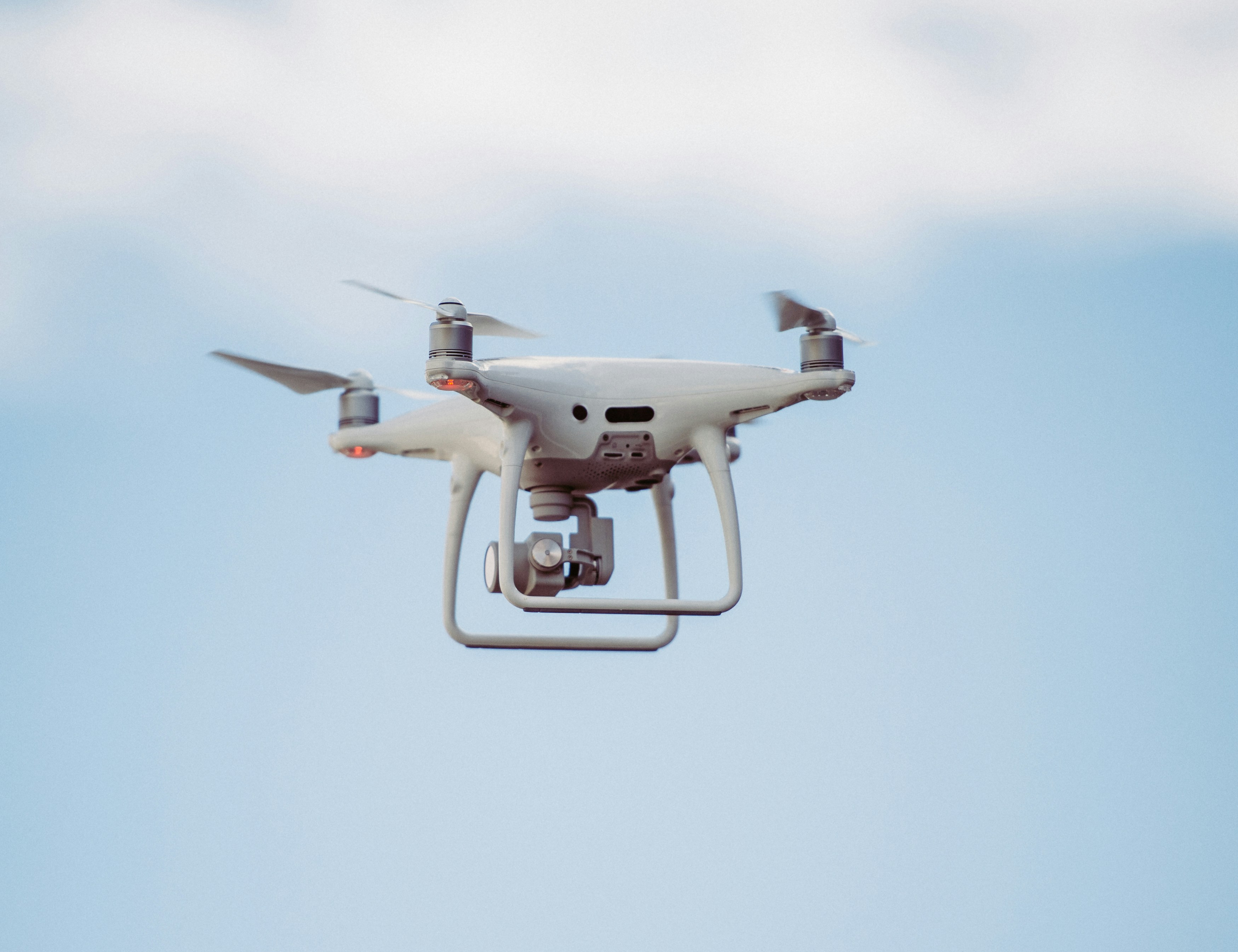
David Scaramuzza at the University of Zurich has done groundbreaking work demonstrating that camera-based systems can achieve remarkable performance. His research on aggressive maneuvers with quadcopters using only visual information proves that cameras alone can handle complex 3D navigation tasks that require split-second decision-making.
If you can navigate complex 3D environments with drones using just cameras—performing aggressive maneuvers at high speeds while avoiding obstacles—why couldn't the same principles apply to ground-based vehicles?
LiDAR: The Physics of Active Sensing
LiDAR (Light Detection and Ranging) operates on fundamentally different physics principles. Instead of passively observing reflected light like cameras, LiDAR actively emits laser pulses and measures the time-of-flight for each pulse to return.
This active sensing approach provides several theoretical advantages:
- Direct Distance Measurement: No need for complex algorithmic inference of depth
- High Precision: Millimeter-level accuracy in distance measurements
- Weather Independence: Generally more robust in rain, fog, and low-light conditions
- 360-Degree Coverage: Spinning LiDAR systems provide omnidirectional sensing
However, LiDAR also has theoretical limitations:
- Sparse Data: Point clouds are inherently sparse compared to dense camera images
- Limited Semantic Information: Difficulty distinguishing between materials and object types
- Cost and Complexity: Moving parts and complex calibration requirements
- Resolution Trade-offs: Higher resolution requires more laser channels and greater cost
The Sensor Fusion Theory
The question isn't whether cameras can do autonomous driving—they absolutely can. The question is: would adding LiDAR make the system even better? This is where sensor fusion theory becomes crucial.
In sensor fusion, we combine information from multiple sensors to achieve better performance than any single sensor could provide. The theoretical framework involves:
- Complementary Strengths: Different sensors excel in different conditions
- Redundancy: Multiple sensors provide backup if one fails
- Cross-Validation: Sensors can verify each other's measurements
- Enhanced Accuracy: Combining measurements often reduces overall uncertainty
The Overfitting Problem: Too Much Information?
Here's where it gets theoretically interesting: overfitting. This is a fundamental concept in machine learning where you have more parameters than you actually need, causing the model to perceive patterns that aren't really there.
In the context of autonomous vehicles, overfitting could manifest as:
- False Pattern Recognition: Seeing meaningful signals in sensor noise
- Over-Parameterization: Using more sensors than necessary for the task
- Computational Overhead: Processing excessive information that doesn't improve decisions
- Conflicting Signals: Different sensors providing contradictory information
Overfitting occurs when a system becomes so complex that it starts making decisions based on noise rather than genuine signals. It's like having so much information that you start seeing patterns in random data.
The Information Theory Perspective
From an information theory standpoint, there's a concept called the "curse of dimensionality." As you add more sensors and data streams, you increase the dimensionality of your input space. While this can provide more information, it can also make the problem exponentially more complex.
Claude Shannon's information theory tells us that more data isn't always better—what matters is the signal-to-noise ratio and the relevance of the information to the decision-making task.
Real-World Implementation Challenges
In practice, the theoretical advantages of sensor fusion must be weighed against implementation complexity:
- Calibration: Multiple sensors require precise spatial and temporal calibration
- Synchronization: Different sensors operate at different frequencies and latencies
- Data Association: Matching observations from different sensors to the same real-world objects
- Failure Modes: More sensors create more potential points of failure
The Computational Complexity Analysis
From a computational perspective, processing LiDAR and camera data simultaneously requires sophisticated algorithms:
- Point Cloud Processing: Algorithms for segmenting and classifying 3D point clouds
- Image Processing: Deep neural networks for object detection and semantic segmentation
- Data Fusion: Algorithms to combine and correlate information from different modalities
- Real-Time Constraints: All processing must happen within strict timing requirements
My Technical Take
I think overfitting is what this entire LiDAR versus cameras discussion is really about. There's no doubt that with a decent set of cameras and powerful computation, you can achieve autonomous driving — the theoretical foundations are solid, and the practical demonstrations exist. The real question is whether adding LiDAR provides genuine value that justifies its complexity, or whether it's the kind of over-parameterization that overfitting theory warns against.
Engineering and theory don't always agree here. LiDAR is probably clever from an engineering standpoint — more data sources can improve reliability and handle edge cases more robustly. But that's a different question from whether it's needed at the theoretical minimum, and "good enough" solutions beat "theoretically optimal" ones for cost and practicality reasons all the time.
Future Directions and Open Questions
The theoretical landscape is still evolving. Emerging areas include:
- Neuromorphic Sensors: Event-based cameras that mimic biological vision
- Solid-State LiDAR: Eliminating moving parts while reducing costs
- Advanced Sensor Fusion: Better algorithms for combining heterogeneous sensor data
- Edge Computing: Processing sensor data closer to the source for reduced latency
Conclusion: The Trade-off Between Capability and Complexity
From a theoretical standpoint, the problem is solvable with cameras alone. From an engineering standpoint, additional sensors provide robustness and redundancy that's hard to argue against. Which one wins in practice will depend on regulation, market acceptance, and the specific use cases being targeted — not on which side has the cleaner theory.